Should You Use 3D View or 3D Surface Maps? Here’s the Definitive Answer
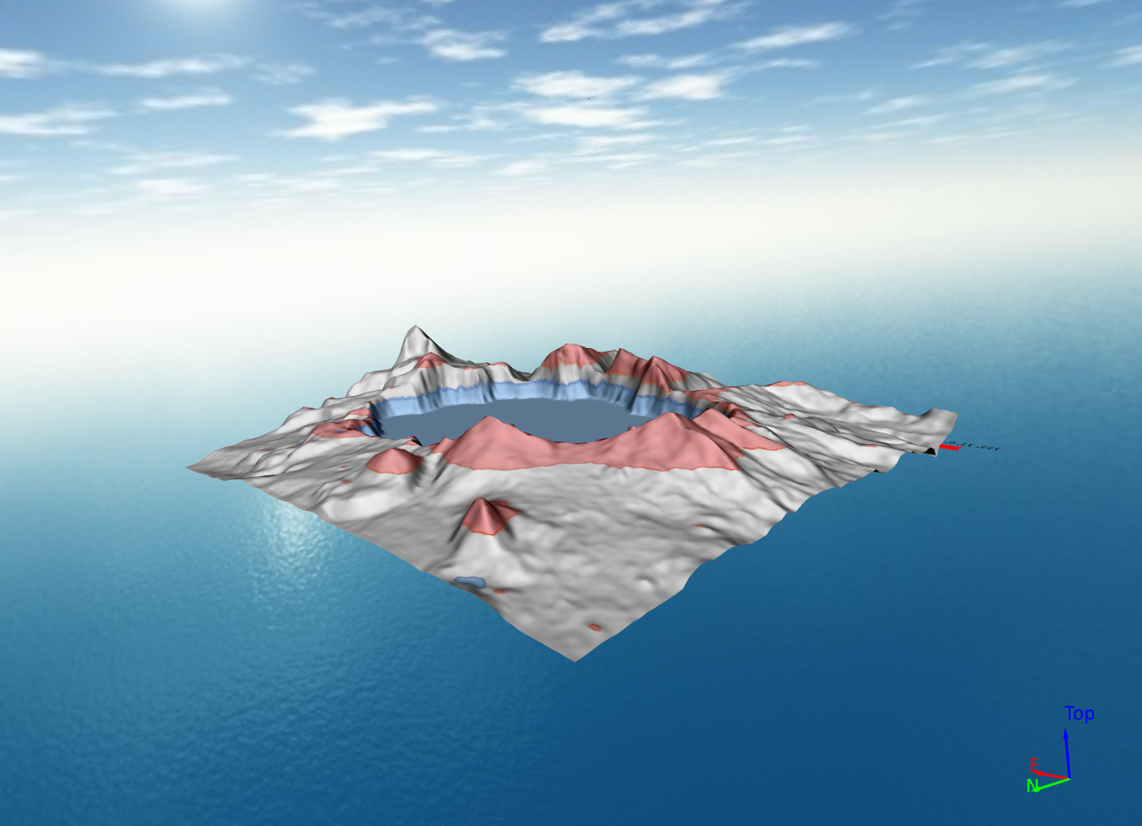
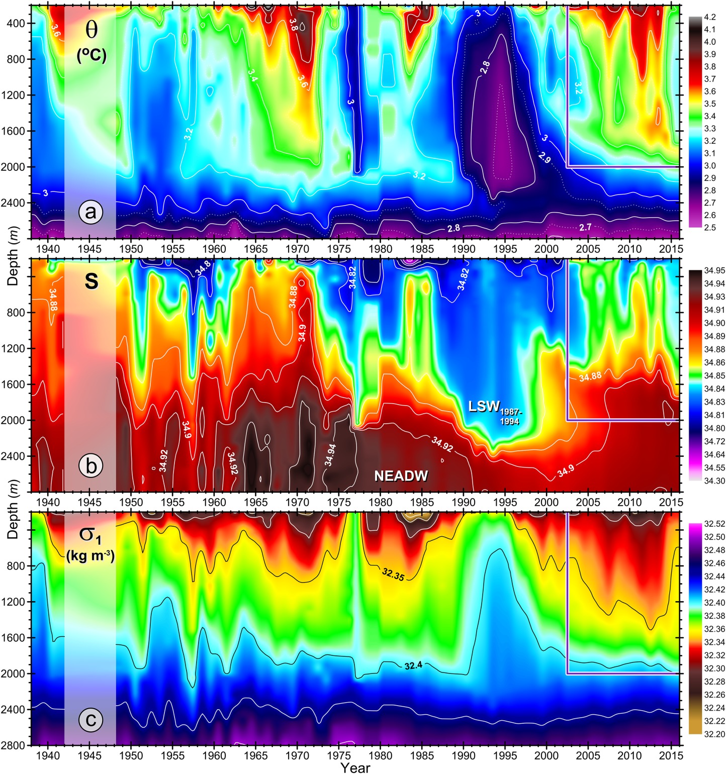
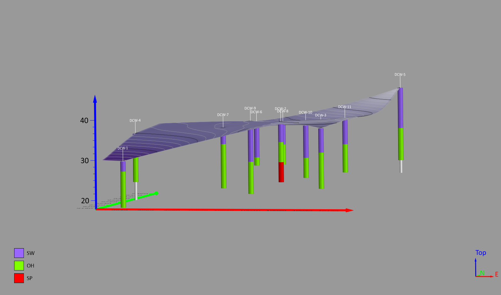
Should You Use 3D View or 3D Surface Maps? Here’s the Definitive Answer For years, you may have relied on 3D surface maps to represent elevation, topography, and subsurface features. And it makes sense—3D surface maps have been around for a long time, becoming an [...]