Need to Enhance Understanding of Your Data? Create a Fly-Through of Your 3D Model.
When it comes to communicating complex surface and subsurface data, 3D models are a powerful tool. They help your stakeholders visualize complicated spatial relationships, spot patterns, and better understand the scope of a problem or solution. But even a 3D model can fall short, especially when your audience doesn’t have a technical background.
What might click with decision-makers who are used to interpreting technical information could leave other stakeholders feeling confused and making poor or delayed decisions. Of course, that doesn’t automatically mean your 3D model isn’t following best practices for creating great data visualizations. It just means that sometimes, your stakeholders require more than a static look or rotated angles of your 3D model—they need a guided experience. That’s where fly-throughs come into play.
What Is a Fly-Through—and Why It Enhances Stakeholder Understanding
A fly-through is a pre-recorded video or animated sequence that takes your stakeholders on a guided tour through your 3D model. By creating a fly-through, you’re not manually rotating or zooming into the model during a meeting or expecting your stakeholders to interpret the model themselves. Instead, you’re providing a smooth, pre-determined path that guides your stakeholder around your visual.
This is different from a “walk-through,” which is typically interactive and user-controlled. A fly-through is curated in advance: you set the path, the camera angles, and the speed. Once rendered, you can share the video with stakeholders. But how can you actually know your fly-through will truly succeed in enhancing understanding? Here’s what makes this tool so effective.
1. It Adds Essential Context
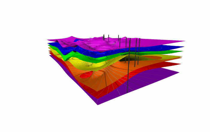
When your audience views a 3D model from a distance, it’s easy to miss nuances, especially if they’re not familiar with analyzing complex data. A fly-through closes that gap by equipping you to craft a pre-determined path that flies past key features, providing stakeholders with a better look at important insights and revealing relationships that aren’t obvious from a single or rotated viewpoint.
2. It Brings the Model to Life
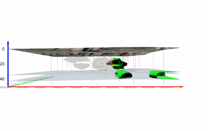
With fly-throughs, you’re not only looking at data but also experiencing it. The sense of motion gives your data a realistic feel and helps viewers imagine themselves interacting with the data. Consequently, stakeholders can visualize and get an experiential look at how a contaminant plume stretches through layers or how an underground storage tank impacts the soil around it.
3. It Makes the Impact Unmistakable
Fly-throughs help communicate urgency and importance. By guiding your stakeholders’ attention and revealing even the smallest details—like subtle variations in elevation or concentration—you can show them exactly why a problem matters and what’s at stake.
When a Fly-Through Makes the Difference: Real-World Use Cases
At this point, you know the specific ways a fly-through can help improve stakeholders’ understanding of your 3D model, but what scenarios would you actually need to create a fly-through? While you could use the tool for any 3D visual, here are four real-world scenarios that show how impactful fly-throughs are when used to enhance stakeholders’ understanding of complex surface and subsurface data.
Environmental Monitoring: Revealing Erosion Along Water Bodies
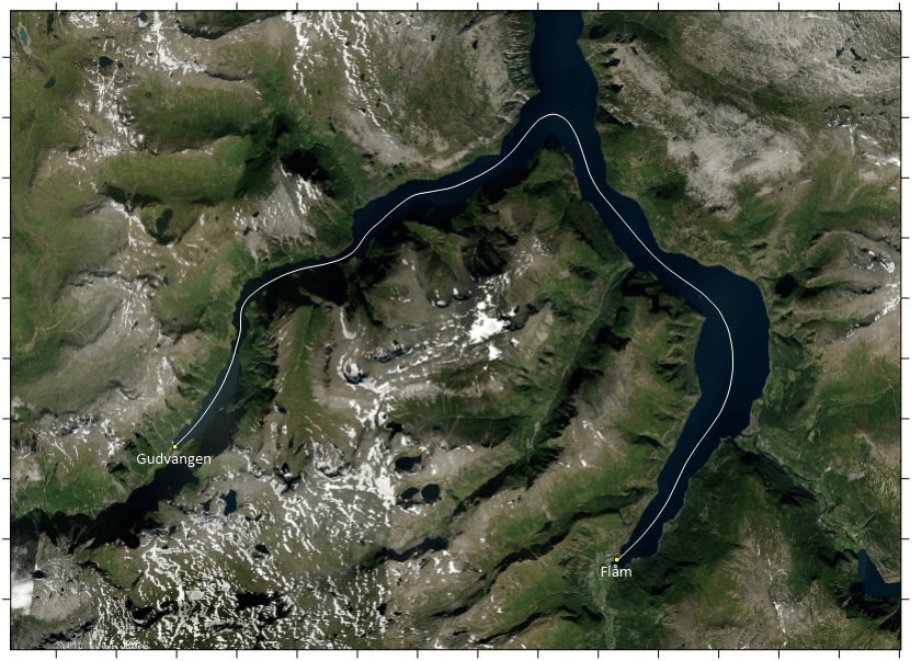
Imagine you’ve been monitoring erosion along a riverbank or coastline. Instead of showing static maps, you can create a fly-through that glides above the surface, revealing elevation changes. As the flight path moves downstream, stakeholders can see where sediment has built up and where banks have receded. It’s a powerful way to transform complex data into a clear, visual story that stakeholders easily grasp.
Resource Exploration: Making Subsurface Potential Visible
If you’re exploring geothermal energy in a remote area, a fly-through of your 3D model gives you a chance to tell a compelling story. You can deliver a high-level overview of the landscape and provide a detailed tour of the geology that supports your drilling sites. You can highlight heat sources, trace water pathways, and show proposed well locations, making it crystal clear why this area has promise. For investors, regulators, and local communities, that level of clarity can mean the difference between skepticism and support.
Infrastructure Planning: Assessing Terrain for Development
If you’re evaluating a site for a new highway, a fly-through can bring your topographic model to life. Flying just above the surface, your camera can trace the proposed route across hills, valleys, and drainage areas, revealing potential construction challenges and opportunities along the way. Instead of scanning static contour maps, stakeholders can experience the lay of the land in motion, helping them understand elevation shifts, slope gradients, and the real-world implications of the terrain.
When Seeing is Believing
Communicating complex surface and subsurface data isn’t just about building an accurate model—it’s about ensuring that everyone who sees it truly understands it. And while static looks or rotated angles of 3D models do a great job at visualizing complex data, they don’t always provide the deep understanding you want to achieve, especially when you’re working with non-technical stakeholders.
Sometimes, you have to take your visualization process a step further by creating a fly-through that turns your 3D model into an experience. Doing so will help provide essential context, bring the data to life, and highlight what matters most. So the next time you’re presenting a 3D model, don’t just show it. Take your stakeholders on a tour. Let them fly through the data, and watch their understanding soar. Ready to create a fly-through of your 3D model? Download a 14-day free trial of Surfer to access the tool that’ll enhance stakeholders’ understanding.


