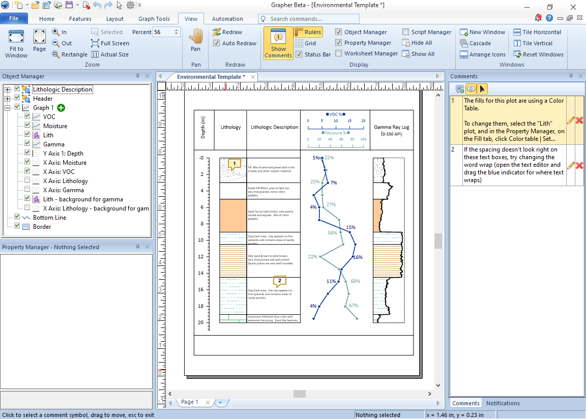
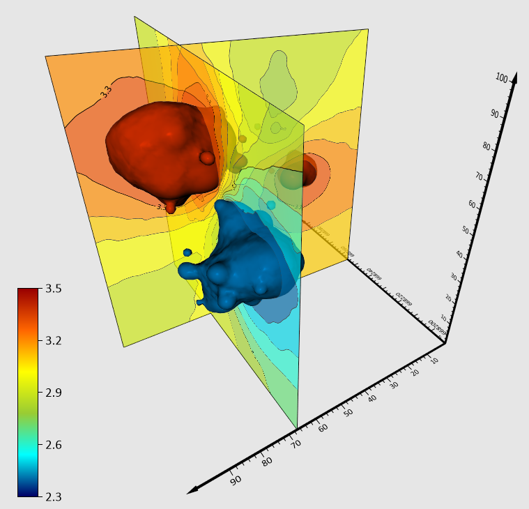
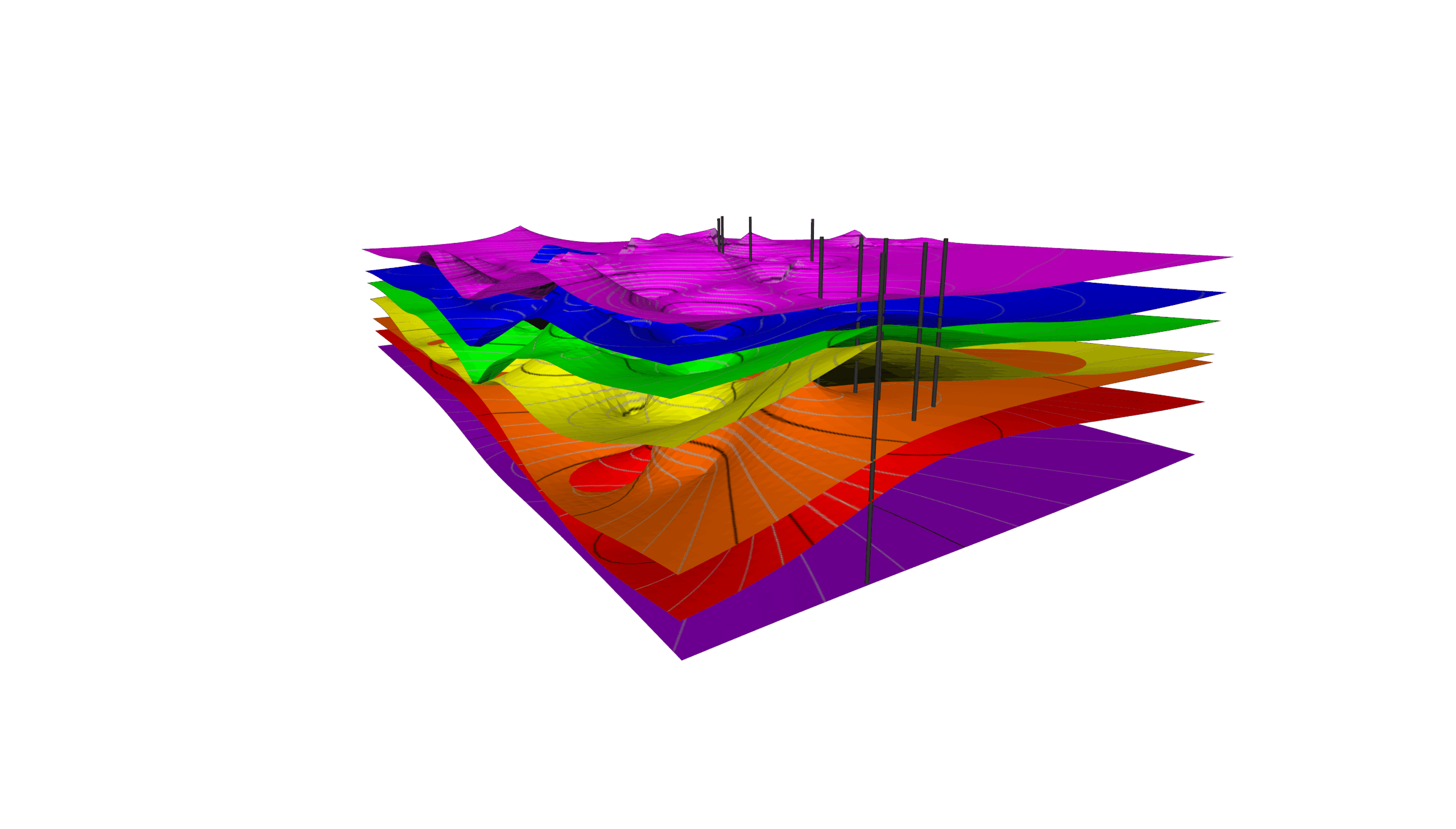
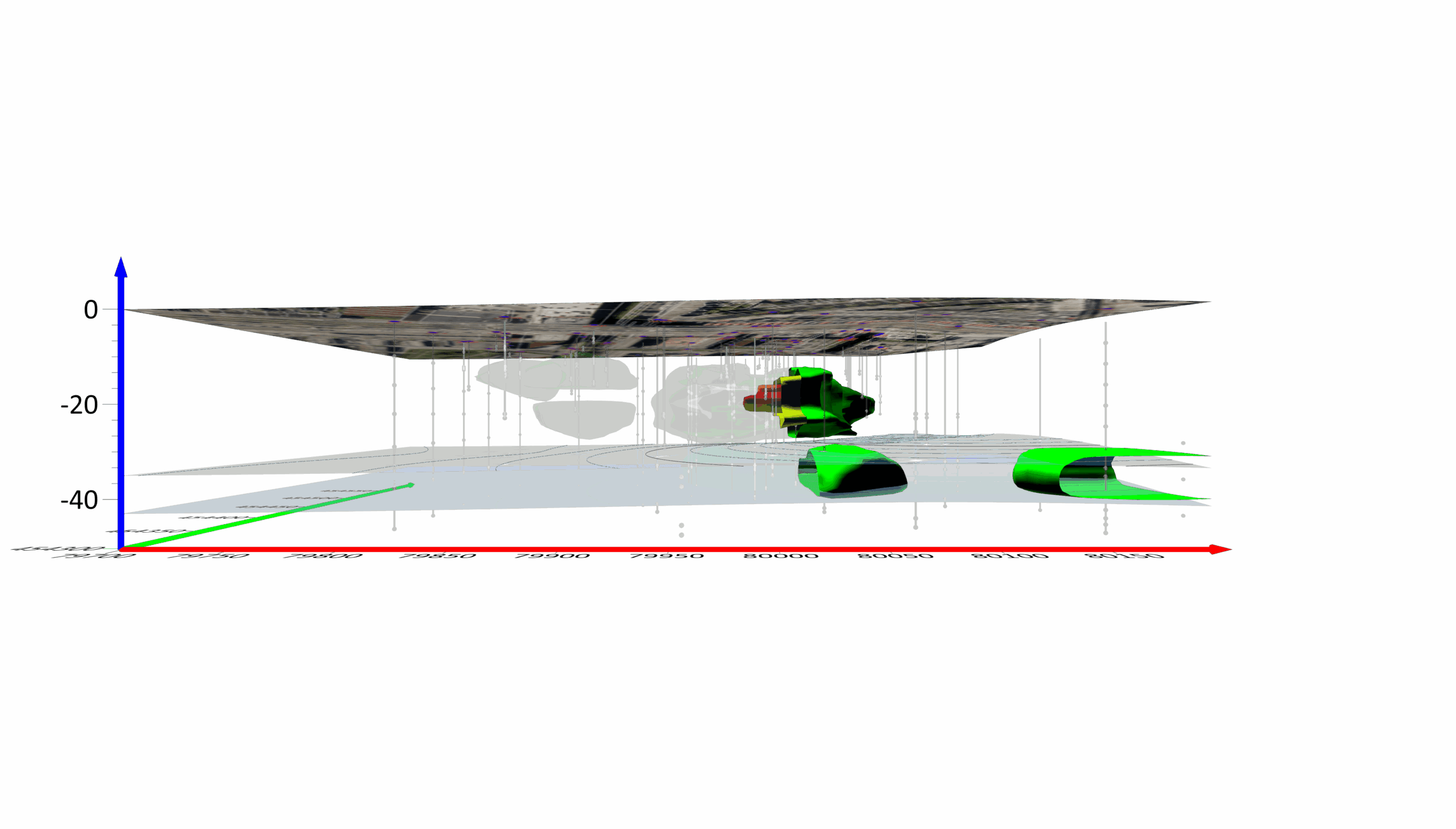
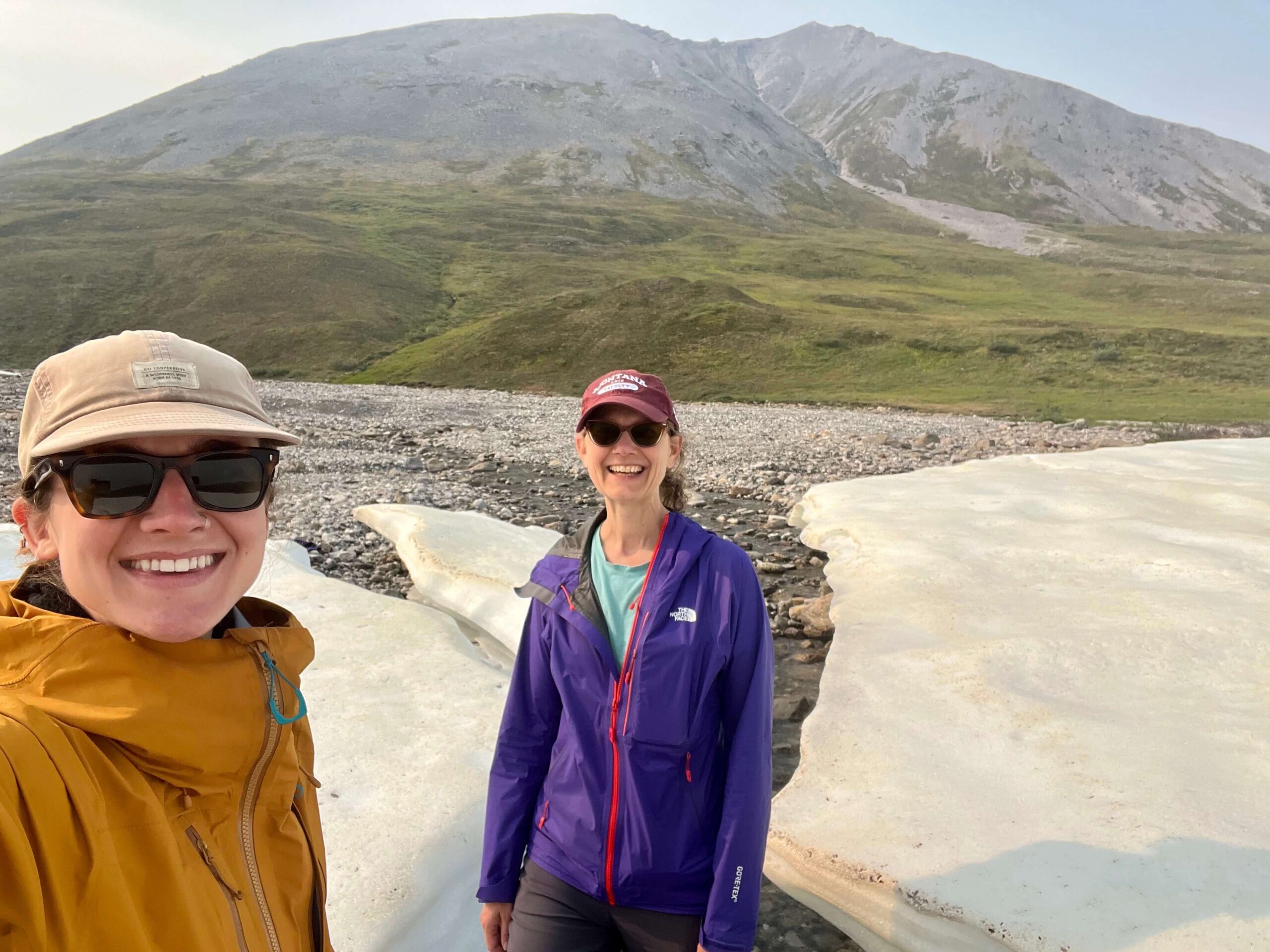
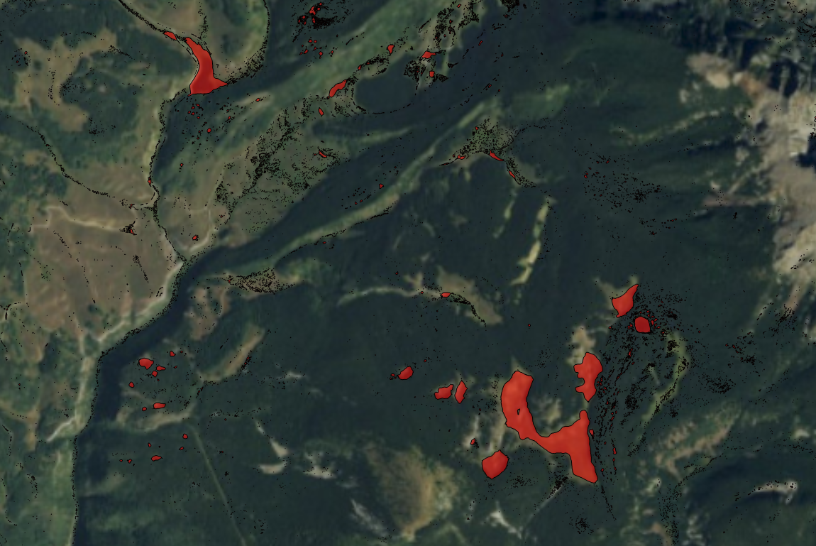
A volunteer effort funded by the Foundation for Glacier and Environmental Research in Seattle is using the Grapher and Surfer packages to visualize changes in ice thickness over time at the massive Juneau Icefield that straddles the Alaska-British Columbia border. The icefield, which contains 24 named glaciers, is an important source of fresh water for northern British Columbia (B.C.).
Read the full story on our Customer Success page: Full Story
By accepting you will be accessing a service provided by a third-party external to https://www.goldensoftware.com/
Our Customers
logo-USGS.png
logo-TetraTech.png
http://www.goldensoftware.com/images/logos/logo-TetraTech.png
logo-HazelSawyer.png
https://www.goldensoftware.com/images/logos/logo-HazelSawyer.png
logo-Laguna_Geosciences.png
http://www.goldensoftware.com/images/logos/logo-Laguna_Geosciences.png
logo-Arcadis.png
logo-RockSolidGroup.png
http://www.goldensoftware.com/images/logos/logo-RockSolidGroup.png
logo-StanleyConsultants.png
https://www.goldensoftware.com/images/logos/logo-StanleyConsultants.png
logo-Arm_Geophysics.png
http://www.goldensoftware.com/images/logos/logo-Arm_Geophysics.png