5 Essential Mapping Software Features for Environmental Professionals
Are you tired of juggling complex environmental projects? As a scientist or engineer in the environmental industry, you have a lot on your plate – from managing field teams to creating accurate figures based on collected data. With so many software options out there, it’s hard to know what features will simplify your day and get you one step closer to landing that big contract.
That’s where this blog comes in – we’ve compiled a list of the top features you should look for in mapping and modeling software for the environmental industry. With our help, you’ll be able to leverage your expertise and inform stakeholders of exactly what’s happening at their site.
What features do environmental professionals need from mapping software?
Gridding Methods to Transform Your Data
Gridding is the process of transforming randomly spaced data into an evenly spaced grid, also known as a raster. By feeding raw data into a gridding algorithm, you can transform field data of any kind. Pressure readings from monitor wells, chemical concentrations, subsurface contamination, temperature, electrical resistivity, or elevation. Any variable you can associate to location data in a XYZ or XYZC format can be gridded.
You should strive for software with simple to use, but mathematically sound gridding functions like Surfer. Surfer can import the field data you worked hard to collect, and transform it into a grid you can generate maps from in seconds.
Map Layer Options for any Environmental Variable
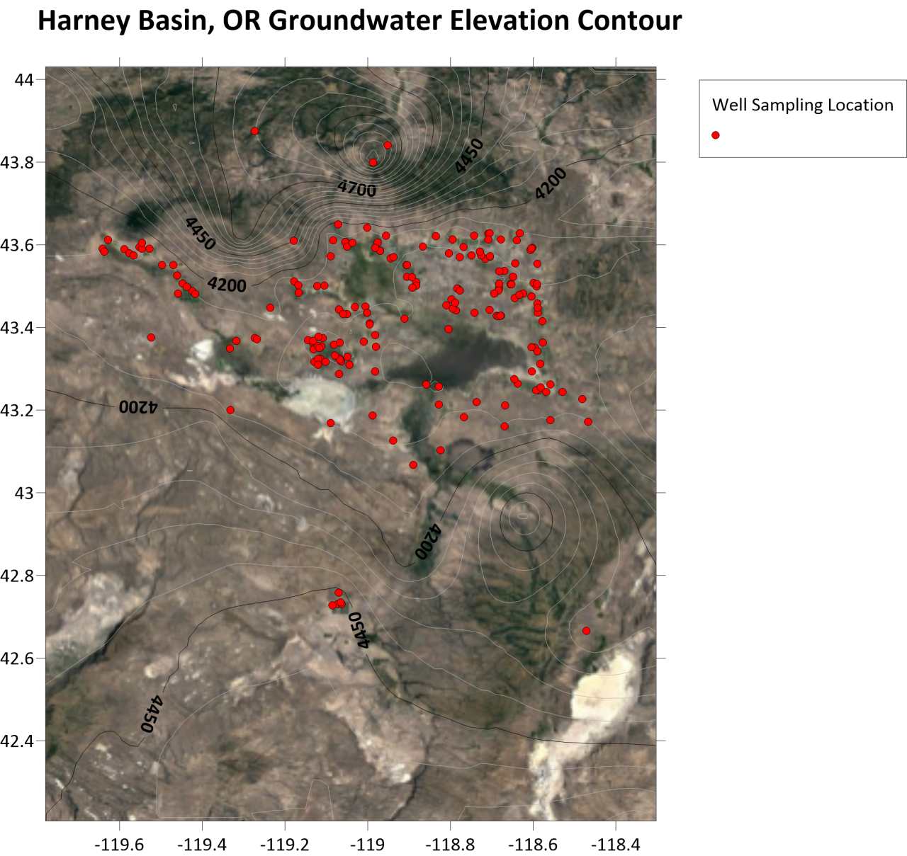
A grid or raster on its own doesn’t mean much. You need an arsenal of map layer options to convert your gridded data into a map that tells the story of your site. Including, but not limited to, contours, color relief, 3D surface, watershed, post, and base map layers.
Surfer is not only world renowned for its legendary contouring algorithms, but offers the layer types listed above, and more! Providing you the options you need to paint a full picture of your site.
Customizable Map Properties
Its not always enough to create a basic map and show clients the facts. To land the job, your presentation figures need to look their best. Software that offers customization options that help you finetune your final output will ensure you leave that lasting impression.
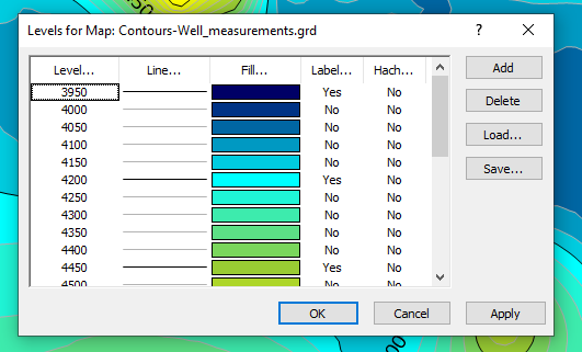
All of Surfer’s map layers can be customized in one place with the Property Manager. Set color schemes, line styles, symbols, levels, labels, legends, and more. With Surfer’s property customization options you can create a final output you are proud to stamp your name on.
Easy to Combine Map Layers
Context is key. Stakeholders don’t always have the same level of expertise that you do. Most of the time they need more than just a contour map to grasp the situation. You need a mapping software that can easily add layers to facilitate their understanding such as aerial imagery, or site plans. DXF, SHP, KML, and TIFF files are just a few of the file types you should confirm your software can import and combine with your original map. Providing you with the tools to combine all your hard work into a powerful figure.
Extensive Export Options
No project is complete until the final report figures are in a shareable format. Whether your client prefers an image file, PDF, data sheet, or even more industry specific formats; Surfer most likely has an option to meet your needs. Even more than just offering an expansive list of export options, Surfer has file specific export features to help customize the deliverable to your specifications. Making sure that your mapping software can export, save, and print in the formats you need is vital for future environmental remediation success.
Ready to take your environmental mapping and modeling to the next level? Make sure to look for these essential features when purchasing your software. With Surfer, you can transform your hard-earned data into insightful final outputs with ease. Optimize your workflows and leave a lasting impression on clients by downloading the Surfer Free Trial today.


