Top Ways 3D Is Innovating Resource Exploration
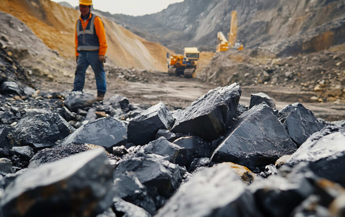
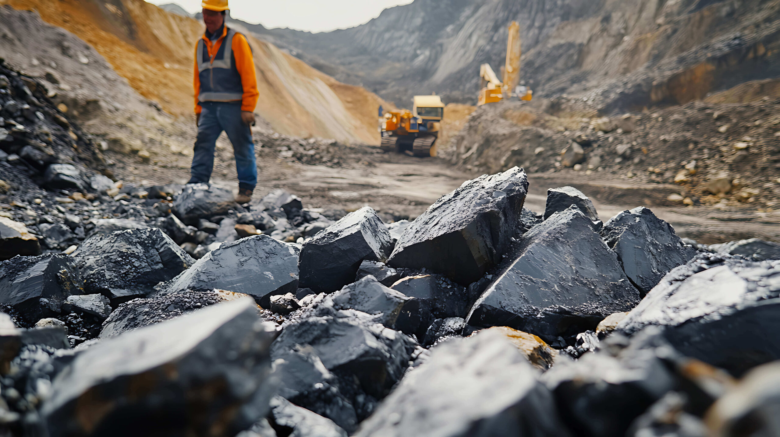
Resource exploration is more complex than ever. You’re working with massive datasets from geophysical surveys and core samples to geochemical analyses and remote sensing imagery. Each dataset offers valuable insights, but visualizing them is no small task.
Traditionally, 2D maps have been the go-to for communicating information. However, while they’re useful, they don’t always show a clear look at your data. Depth relationships, spatial variations, and subsurface features on 2D maps often become oversimplified or visually overwhelming, leaving room for uncertainty or misunderstandings among stakeholders.
That’s where 3D visualization comes in.
How 3D Visualization Is Communicating Data More Effectively
With 3D visualization, you can turn complex data into clear models that effectively communicate your findings. That’s because 3D models don’t flatten your data onto one map but instead give your data depth to provide a realistic visual that stakeholders can understand. To put that into perspective, here are five ways 3D visualization helps communicate data more successfully in resource exploration.
Reveals Subsurface Relationships That 2D Can’t Show
When working in 2D, it’s common to either stack all your surface and subsurface data onto a single map, making relationships hard to distinguish, or to separate them into different maps entirely, which fragments the story your data tells. Both approaches make it difficult to fully grasp how features connect below the surface, but 3D visualization solves that problem. It brings every layer—surface topography, mineralized zones, and subsurface features—together in one cohesive view, allowing you to see how they interact spatially and in context. The result is fewer assumptions, clearer interpretations, and more confident conclusions.
Enhances Clarity to Improve Drill Planning and Targeting
Drilling decisions depend on understanding what’s happening below the surface, and 3D visualization gives teams that insight with unmatched clarity. Seeing drillholes and targets in 3D makes it easier to plan precise drilling paths and identify areas with the highest potential. This not only improves accuracy but also cuts costs and reduces wasted effort in the field.
Integrates Multiple Data Types into One Cohesive View
Resource exploration brings together diverse datasets, including geological maps, geophysical grids, geochemical assays, drillhole data, and more. In 2D, comparing these side-by-side or on one map can be cumbersome and disconnected. In 3D, everything comes together in a single, unified model. You can overlay, align, and analyze multiple data types spatially, revealing patterns and correlations that are impossible to see otherwise. The result is a more holistic understanding that leads to stronger interpretations and smarter decisions.
Communicates Complex Findings More Clearly
Even the most accurate technical insight can lose its impact if stakeholders can’t visualize what it actually means. On a 2D map, complex concepts like depth, overlap, scale, or uncertainty often require explanation to provide additional context. For non-technical audiences, that can quickly become overwhelming or decrease their engagement.
3D visualization removes much of that friction by sharing data in a more realistic, intuitive way. Instead of asking stakeholders to mentally reconstruct what’s happening below the surface, 3D shows it to them. Mineralized zones have thickness, drillholes have depth, and geological structures appear as they exist in the real world, not flattened onto a page. This realism makes complex findings easier to grasp, builds confidence in the interpretation, and helps decision-makers engage with the data without needing a technical background.
Share Your Data Clearly and Confidently
In resource exploration, clarity drives confidence, and 3D visualization delivers both. By transforming complex datasets into realistic, multidimensional views, 3D helps stakeholders understand technical information, leading to a smarter, faster way to make data-driven decisions that move exploration forward. So whether you’re presenting to investors, collaborating with field teams, or sharing findings with a client, consider using 3D visualization to provide the clear picture stakeholders need.
Ready to experience the power of 3D visualization for yourself? Explore the 3D tools in Surfer and see how they can bring your data—and your discoveries—to life.