How 3D Visualization Is Improving Data Communication in Environmental Consulting
Environmental projects depend on more than collecting accurate data; they depend on communicating it clearly. Whether you’re mapping subsurface contamination, modeling terrain, or tracking changes over time, the datasets behind these efforts are often large, layered, and complex, making them difficult to effectively convey to stakeholders.
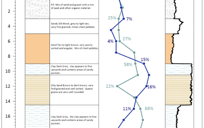
For years, 2D maps have been the standard way to communicate that data, but these visuals often fall flat. Traditional maps force stakeholders to imagine depth, volume, and movement instead of seeing them realistically, making it harder to understand risks or opportunities with confidence. Fortunately, 3D visualization changes that reality.
How 3D Leads to Clearer Data Communication and Better Outcomes in Environmental Consulting
By turning complex environmental data into realistic, spatially accurate visuals, 3D helps stakeholders clearly see what’s happening both above and below the surface. This ensures a better understanding of site conditions and stronger project outcomes for stakeholders. In fact, here are just some of the most impactful ways 3D visualization enhances clarity to ensure stakeholders get good results.
Turning Abstract Data into Real-World Context
People naturally understand information spatially, not through flat contour lines or stacked cross sections. 3D visualization mirrors how people perceive space and depth, making complex features like soil layers, groundwater flow, and terrain easier to understand. This clarity not only reduces confusion but also builds trust with stakeholders. When they see a realistic visualization of data, confidence in the findings and recommendations grows, often leading to faster approvals, fewer follow-up questions, and smoother progress overall.
Supporting Better Decision-Making During Remediation
Remediation depends on understanding exactly where contamination exists and how it moves, and that’s something 2D visuals often struggle to show clearly. 3D visualization, on the other hand, provides a complete spatial view of contaminant plumes, soil layers, and groundwater flow, helping stakeholders pinpoint problem areas with precision.
From there, stakeholders can also evaluate remediation strategies more effectively. With a 3D model, they can see how contaminants interact with site geology, identify optimal recovery well placements, and anticipate how cleanup efforts will influence nearby areas. This clarity reduces uncertainty, minimizes unnecessary drilling or excavation, and supports faster, more confident decision-making throughout the remediation process.
Aligning Teams Around a Shared Understanding
Environmental projects typically bring together consultants, clients, regulators, and contractors—each with different expertise and technical backgrounds. That diversity can make communication challenging when everyone interprets data differently.
3D visualization solves that by offering a single, realistic view of the project that everyone can intuitively understand. Because 3D models mirror how people naturally see and interpret the world, they eliminate the need for thorough explanations. Complex details—like contaminant pathways, terrain changes, or subsurface structures—become clearer to both experts and non-technical stakeholders. This shared clarity keeps teams aligned, strengthens collaboration, and ensures that everyone moves forward with the same understanding of site conditions and goals.
Experience the Difference Clearer Data Communication Makes
In environmental consulting, success depends on how well you can communicate what the data means, and 3D visualization helps. By transforming complex datasets into realistic, easy-to-understand visuals, you give stakeholders and anyone else involved a clear understanding of what’s happening above and below the surface, leading to better outcomes.
So if you’re ready to communicate your environmental data more clearly, try the 3D tools in Surfer. You can explore them for free for 14 days to experience how seeing your data in 3D can change everything.