Walking on a 3D Model: How to Give Stakeholders a Better Understanding of Your Data
Data visualization is a powerful tool—but sometimes, even a well-designed 3D model isn’t quite enough to get your point across. Stakeholders may nod along in meetings, but if the project is complex or the audience is non-technical, there’s a real risk that the most important insights will go unnoticed. That’s where walking on your 3D model comes in.
Instead of simply rotating or zooming around your model, you can now immerse yourself—and your stakeholders—right into the middle of it. And when your goal is to ensure better understanding, better communication, and better decision-making, that level of closeness makes all the difference.
What Does It Mean to Walk on a 3D Model?
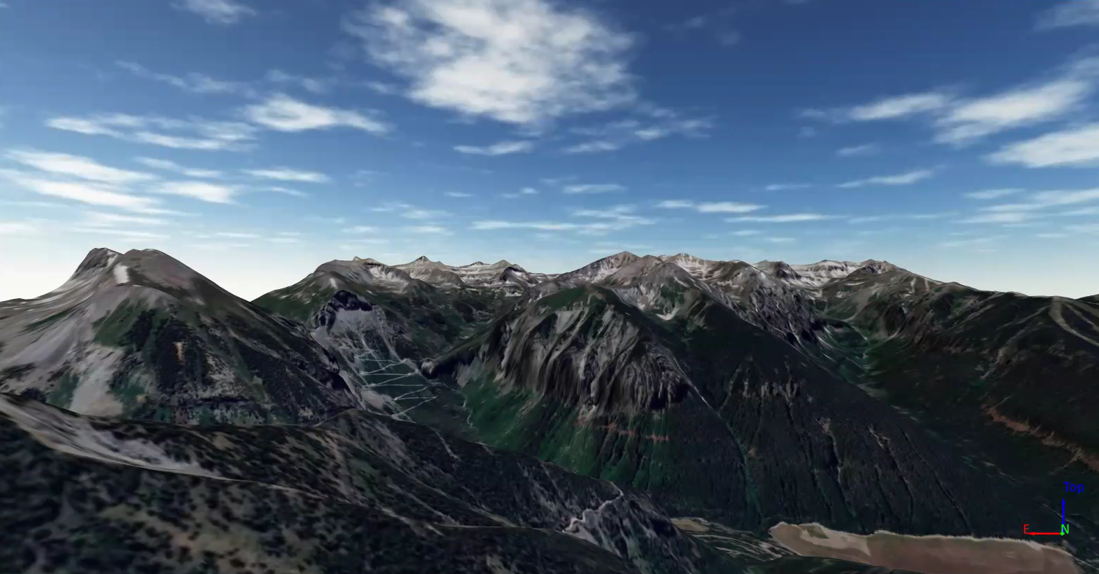
Now, what do we actually mean by “walking on a 3D model?” Simply put, walking on a 3D model means exploring your data as if you were physically standing in the environment it represents. In Surfer, the walk feature equips you to “step” inside the 3D model you created in the 3D View—moving forward, turning side to side, and adjusting your height above the surface to provide a realistic look at your data to stakeholders. This Surfer feature is intuitive, interactive, and much easier to use than what’s provided in complex data visualization software that comes with steep learning curves and bloated toolsets.
Why Walking on a 3D Model Improves Stakeholder Understanding
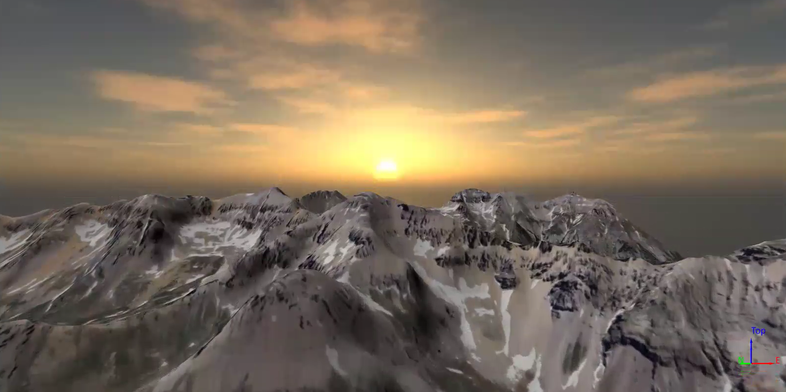
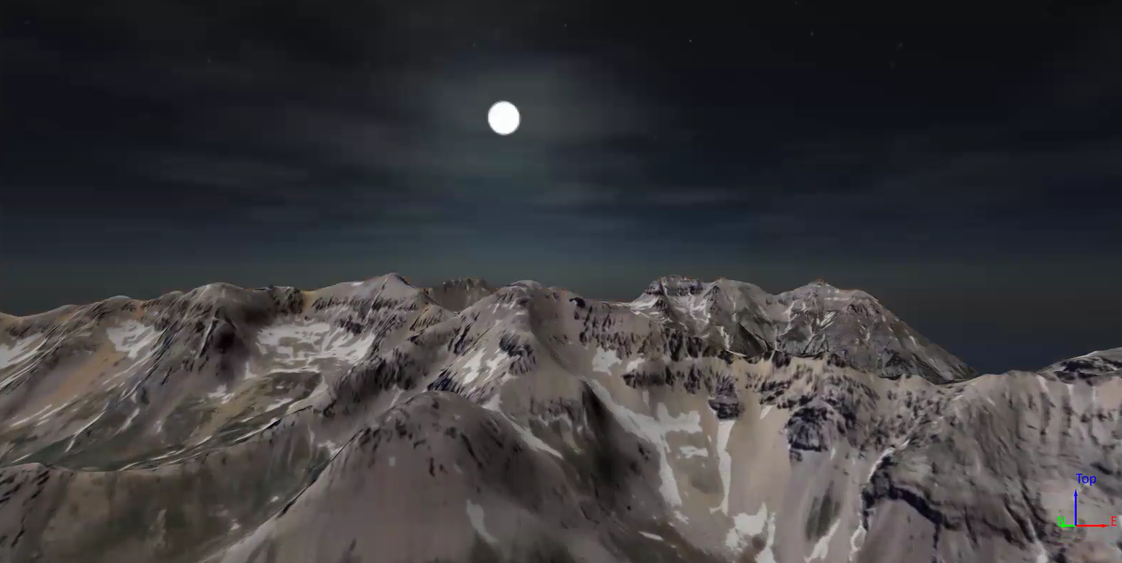
So how exactly does the walk feature help improve stakeholders’ understanding? Undoubtedly, sometimes the only way to fully grasp a site’s features is to stand inside it. Surfer’s walk mode helps you do the next best thing—offering a life-like view that lets you zoom in on subtle topographic changes, explore key areas from the ground level, and contextualize complex features that may be difficult to explain with static visuals alone. You can move in any direction, scan the surroundings, or hone in on a specific area—all in a way that feels natural and responsive. If we’re being frank, walking on your 3D model just helps people get it faster.
It’s especially useful when your model includes complex terrain at different elevations. Instead of asking your stakeholders to imagine the site from an overhead or oblique view, you can take them on a tour. And if you need to adjust that tour at any point to give viewers better insight, you can tweak the walking experience to match their needs. Using advanced settings, you can control:
- Walk speed – how fast you move forward or backward
- Rotation speed – how quickly you turn left or right
- Mouse wheel speed – how far above the surface you’re standing
By fine-tuning these settings, you can either glide across the model at a high level for an overview or slow things down to highlight small, important details. With these various options, you can deliver everything stakeholders need to comprehend the data-driven insights you’re sharing.
Practical Ways to Use Walk Mode in Stakeholder Presentations
One of the best things about the walk feature is that it can benefit you no matter the industry you’re in. To prove that point, here are practical, real-world examples of how professionals in different fields can walk through their data to tell a clearer story:
1. Environmental Management
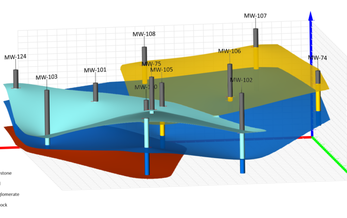
If you’re presenting a remediation plan for a former industrial site, walk mode lets you take stakeholders on a tour of contamination zones, planned treatment areas, and future monitoring locations. Instead of pointing to colored patches on a map, you can say, “Let’s walk through the impacted zone and look at where the new monitoring wells will be placed.” That’s a much more impactful experience—especially when you’re presenting to city officials or residents.
2. Resource Exploration
Let’s say you’ve modeled an ore deposit below the surface and are showing proposed drill locations. Walking through the model equips you to showcase how the geology changes across the site, how drillholes align with promising zones, and how terrain affects accessibility. It’s a compelling way to help investors or partners understand both the opportunity and the logistics.
3. Water Resources
Imagine you’ve built a model to show groundwater flow beneath a watershed. You can walk along the terrain surface, then adjust your view to show where water enters and exits the system and where contamination risks lie. This walkthrough can help landowners or agency staff understand the system in 3D space, not just as lines on a chart.
4. Engineering
For engineers working on flood mitigation, infrastructure placement, or slope stability, walk mode is a powerful presentation tool. Instead of just displaying elevation contours and profile cuts, you can walk stakeholders along the floodplain, stand atop key levees, or “stand” at a potential culvert location and view surrounding terrain. It helps make design decisions more tangible.
5. Archaeology
Need to showcase terrain modifications or dig locations in a historic site? Walk mode equips you to take viewers through past excavation areas or planned survey zones. Instead of flipping between site maps and cross-sections, you can offer a guided, ground-level tour through the digital reconstruction of the site itself—a particularly powerful tool when presenting to funding agencies, collaborators, or the public.
The Best Way to Share the Story Hidden in Your Data
At the end of the day, your model tells a story—but that story only matters if the people you’re sharing it with actually understand it. Surfer’s walk mode helps you bring that story to life, step by step, with as much context and realism as possible.
Whether you’re helping a stakeholder visualize treatment zones, showing clients a 3D resource estimate, or helping a board member understand why your plan works, walking on your 3D model gives you the power to do more than just show your data. It lets your stakeholders experience it.
Ready to see it in action? Start the 14-day free trial of Surfer to enjoy the walk feature and its ability to improve stakeholders’ understanding!