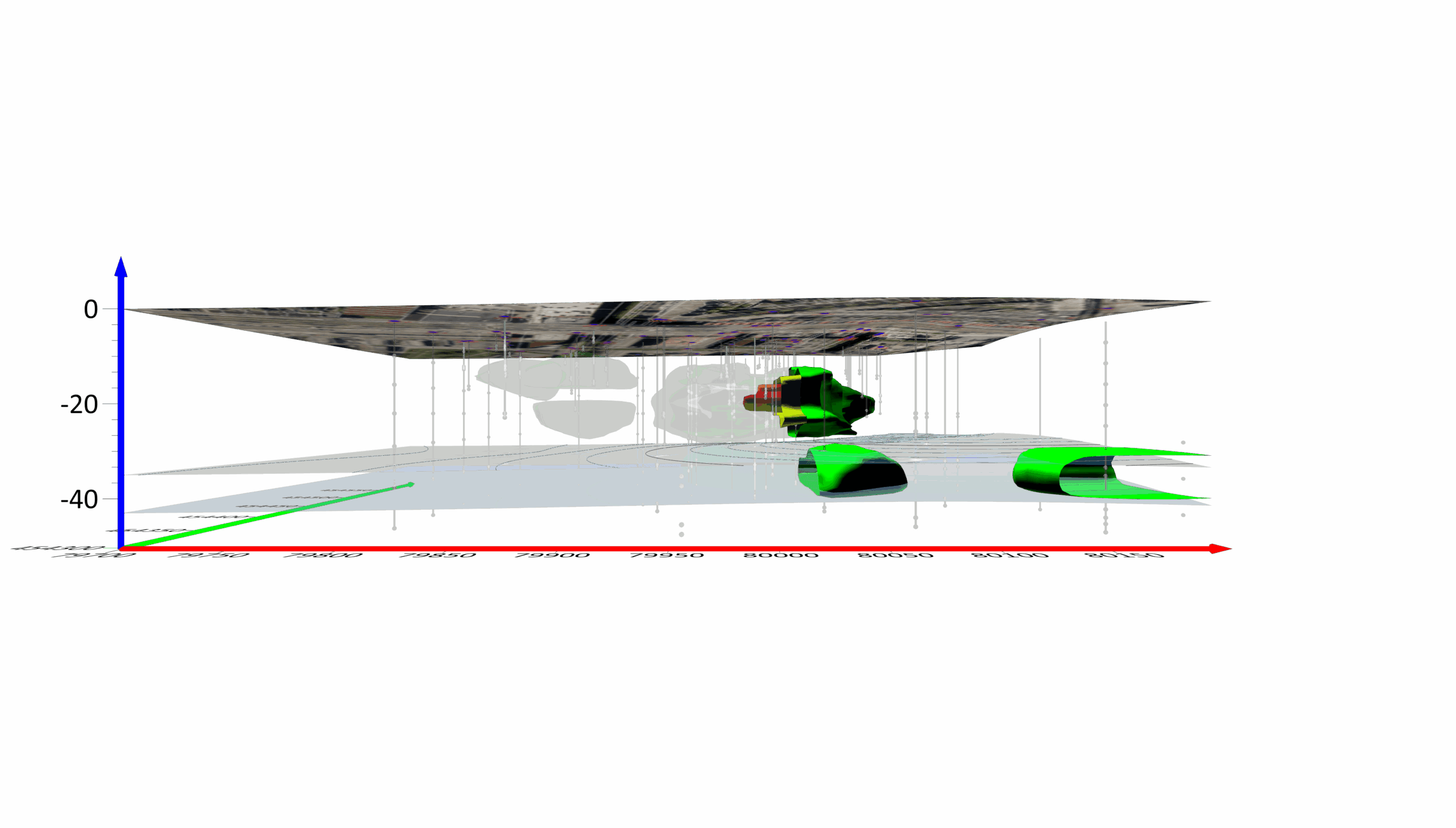
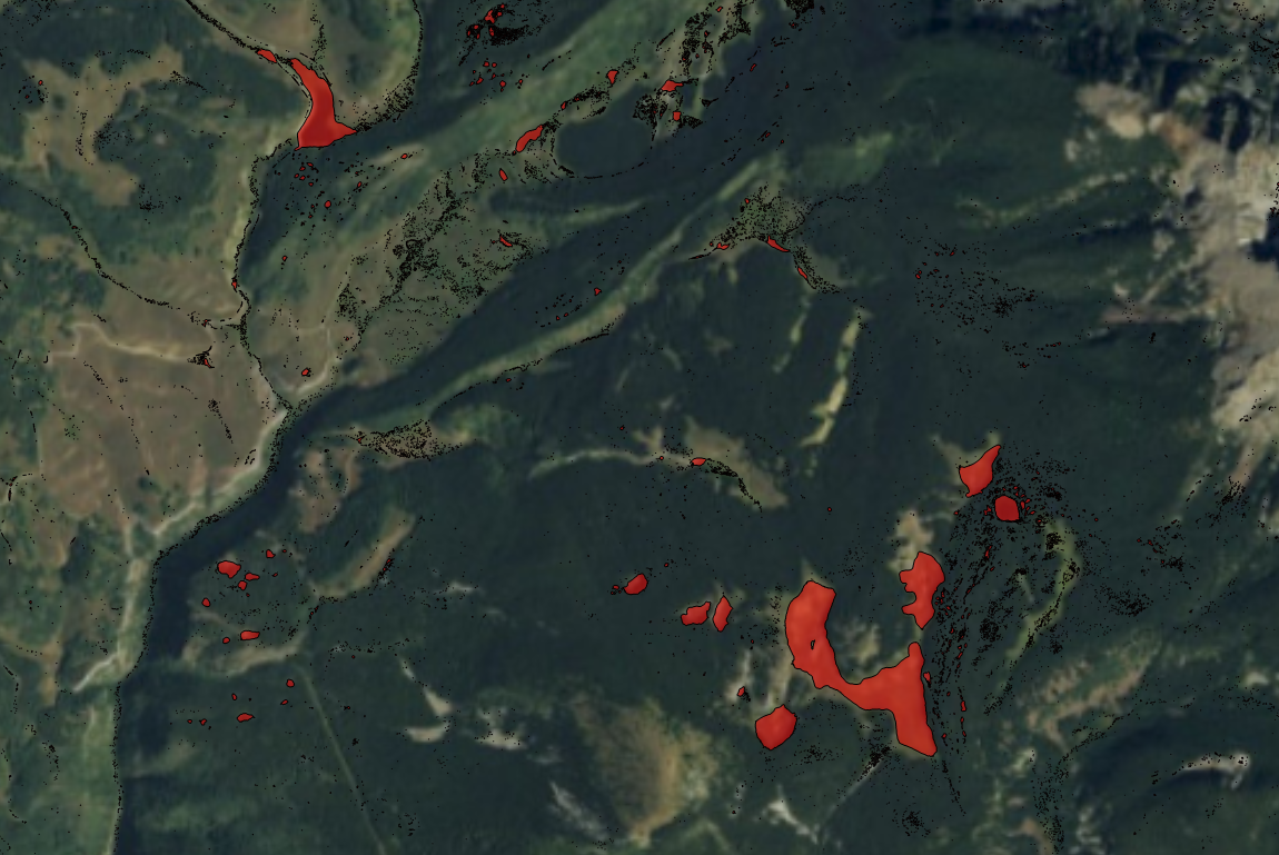
There are many ways to customize and enhance maps. One popular enhancement is including images such as satellite imagery, aerial photographs, or historical maps. Images provide additional information and context for the map. In order to spatially relate the image with the other geographic data sources in a map, the image must be georeferenced.
Georeferencing an image is the process of assigning real-world coordinates to each pixel of the image. The latest release of Surfer can georeference images using three or more control points. Below I will step you through some of the main georeferencing features, but for more detailed instructions on how to georeferenced an image of your own, check out our knowledge base article, How can I georeferenced (assign coordinates to) an image base map in Surfer?
When georeferencing an image, the Georeference Image window pops up as a separate window from the Surfer application. This allows you to transition from one window to the next as you verify your georeference settings are correct.
![]() |
The georeference image window allows you to easily work with all aspects of your map in Surfer. |
Within the Georeference Image window, you can easily navigate the image. Zoom in/out with the mouse wheel or zoom to a selected area, quickly pan the image, or adjust the view to fit the entire image in the view pane. View help text and the warp method, if one is applied, along with the pixel, geographic, and projected coordinate location of the cursor in the status bar.
The navigation tools make it easy to select, add, or delete control points. Control points match points on the image to corresponding points in real-world coordinates. Once a control point is selected, the control point table lets you view and edit the source and target coordinates.
Should you need to specify a warp methods, Surfer provides 10 options. When selecting a warp method, you’ll notice a number preceding the warp method. This number corresponds to the minimum required control points for that specific warp method.
![]() |
Easily assign and edit control points to georeference the image. |
Should you need to specify a warp methods, Surfer provides 10 options. When selecting a warp method, you’ll notice a number preceding the warp method. This number corresponds to the minimum required control points for that specific warp method.
|
|
Finally, update the map with your image that now has real-world coordinates.
Georeference your own images with the free, two week Surfer trial.
Our Customers
logo-USGS.png
logo-TetraTech.png
http://www.goldensoftware.com/images/logos/logo-TetraTech.png
logo-HazelSawyer.png
https://www.goldensoftware.com/images/logos/logo-HazelSawyer.png
logo-Laguna_Geosciences.png
http://www.goldensoftware.com/images/logos/logo-Laguna_Geosciences.png
logo-Arcadis.png
logo-RockSolidGroup.png
http://www.goldensoftware.com/images/logos/logo-RockSolidGroup.png
logo-StanleyConsultants.png
https://www.goldensoftware.com/images/logos/logo-StanleyConsultants.png
logo-Arm_Geophysics.png
http://www.goldensoftware.com/images/logos/logo-Arm_Geophysics.png
Comments 6
Hi, everytime I try to georeference something from Google Earth the result comes out shorter in height and broader afterwards ie too wide in the x axis relative to the y, so not to true scale XY(I know how to make it bigger). I've tried it several times with different areas and can't work out what the problem is. Is there an obvious I am missing? Thanks
Hi Jose,
When maps are displayed based on latitude and longitude coordinates extending over a large region, the map might appear somewhat distorted (stretched in one direction). This occurs because one degree of latitude is not equivalent to one degree of longitude.
You can reference the article here: https://support.goldensoftware.com/hc/en-us/articles/226661488-Scale-Lat-Lon-maps-correctly-in-Surfer?source=search for a workflow on how to resolve this. If that workflow does not resolve the issue feel free to reach out to us at support@goldensoftware.com with your SRF file and we can further investigate for you.
Best,
Jake Stachewicz
Customer Support
Hi Jake,
I realise now where I had went wrong. I was calculating the cosine in Excel hadn't realised that it calculates it in radians so just had to muliply Pi/180 and it's come as expected.
Thanks for the help,
JJ
Hi, I've georeferenced an image in Surfer 10 using the suggested 'internal points' method for UTM Zone 34S. The resulting Y-coords relative to Google Earth are good to +/- 5 meters which is OK for my needs. X's are more flaky at +/- 20 meters and I wonder if 'warping' could improve things? All that I see under warping in the drop-down are two boxes 'Affine with coefficients' and "No. points" and neither box is active. Surfer Help has nothing on warping. Do you have any suggestions? Thanks
Hi Roger,
Thank you for posting your comments and question. Surfer 10 does not use any warping when assigning new coordinates to the image, Surfer 15 does. You can find information in Surfer 15's help about the warping on the Georeference Image page. The warping methods require a different number of input calibration points to become active; perhaps this what you are seeing.
Thanks!
Drew Dudley
Hi, I'm loving this software. Does surfer 15 support STL or OBJ for 3D printing? If not, is there something else can be done?