- Sep 26, 2024|Gabbie Rhodes|7 min read
Satellite imagery can add context to your maps, but only when it's used properly. Execution matters. Learn when and how to use this asset.
About Golden Software
40 years ago, Golden Software began as a small company that develops, sells, and supports scientific visualization software.
Today, we still develop, sell, and support scientific visualization software, and more.
Surfer – Create an Immersive 2D/3D Model in Under 2 Minutes!
Grapher – If You Can Imagine It, You Can Graph It!
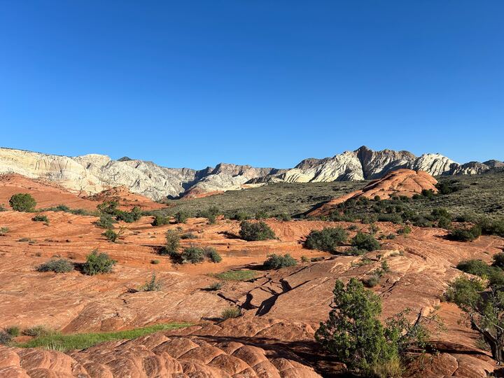
- Sep 18, 2024|Gabbie Rhodes|7 min
Zion National Park may be a renowned attraction in Utah, but Snow Canyon State Park is also worth seeing while in the state. It's full of wonders!