Drew Dudley
Senior Technical Sales Specialist
More from Drew Dudley:
- Oct 21, 2026|Gabbie Rhodes|7 min
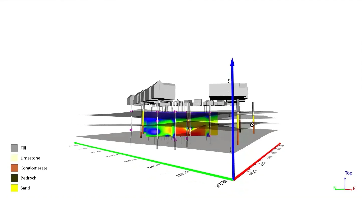
Want your subsurface data to tell a clear story to stakeholders? Learn how to visualize it in 2D and 3D so your data clearly shares key insights.
- Oct 21, 2026|Gabbie Rhodes|10 min
With climate change data, you need to visualize where temperature, precipitation, and other variables occur and change over time. Learn how.
- Oct 14, 2026|Gabbie Rhodes|7 min
Mineral exploration requires you to analyze multiple variables. To do that successfully, you need to rely on both maps and graphs.
- Oct 7, 2026|Gabbie Rhodes|8 min
In the second post of our Visualizing Technical Data series, learn how maps and graphs can showcase your water quality data and uncover insights.
- Sep 29, 2026|Gabbie Rhodes|9 min
When visualizing technical data, a map will reveal certain insights, while a graph will reveal other insights. You need both to get the full picture.
- Sep 9, 2026|Gabbie Rhodes|10 min
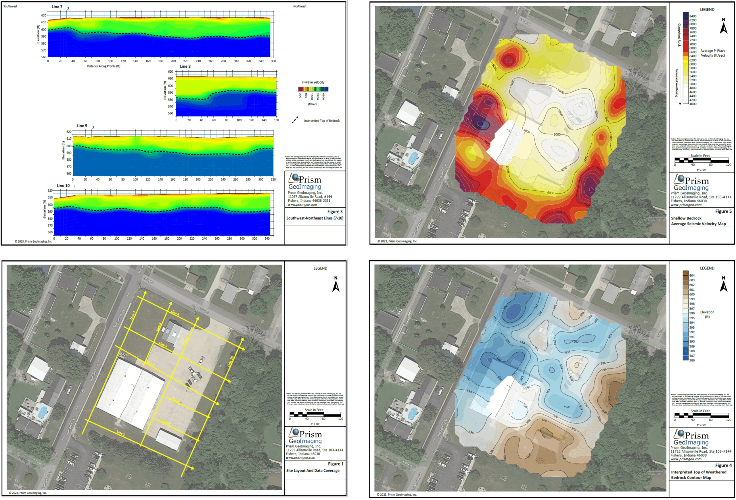
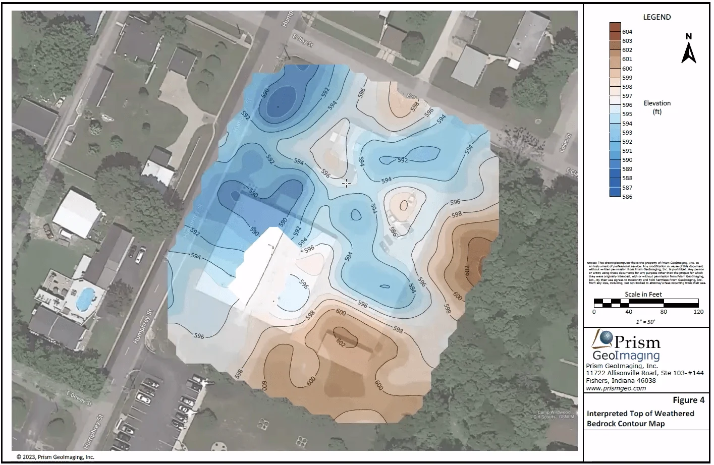
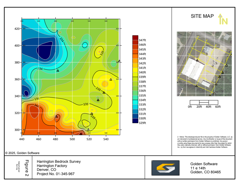
In a recent webinar, John Vanderlaan, founder and owner of Prism GeoImaging, Inc., explored how to visualize geophysical data effectively.
- Jul 29, 2026|Gabbie Rhodes|9 min
Map elements often have the biggest impact on how confidently stakeholders interpret your data and make decisions. Discover which ones to use.
- Jun 17, 2026|Gabbie Rhodes|11 min
Senior Technical Sales Specialist Drew Dudley hosted a webinar to provide tips for ensuring coordinate systems display accurately and consistently.
- Mar 20, 2026|Gabbie Rhodes|6 min
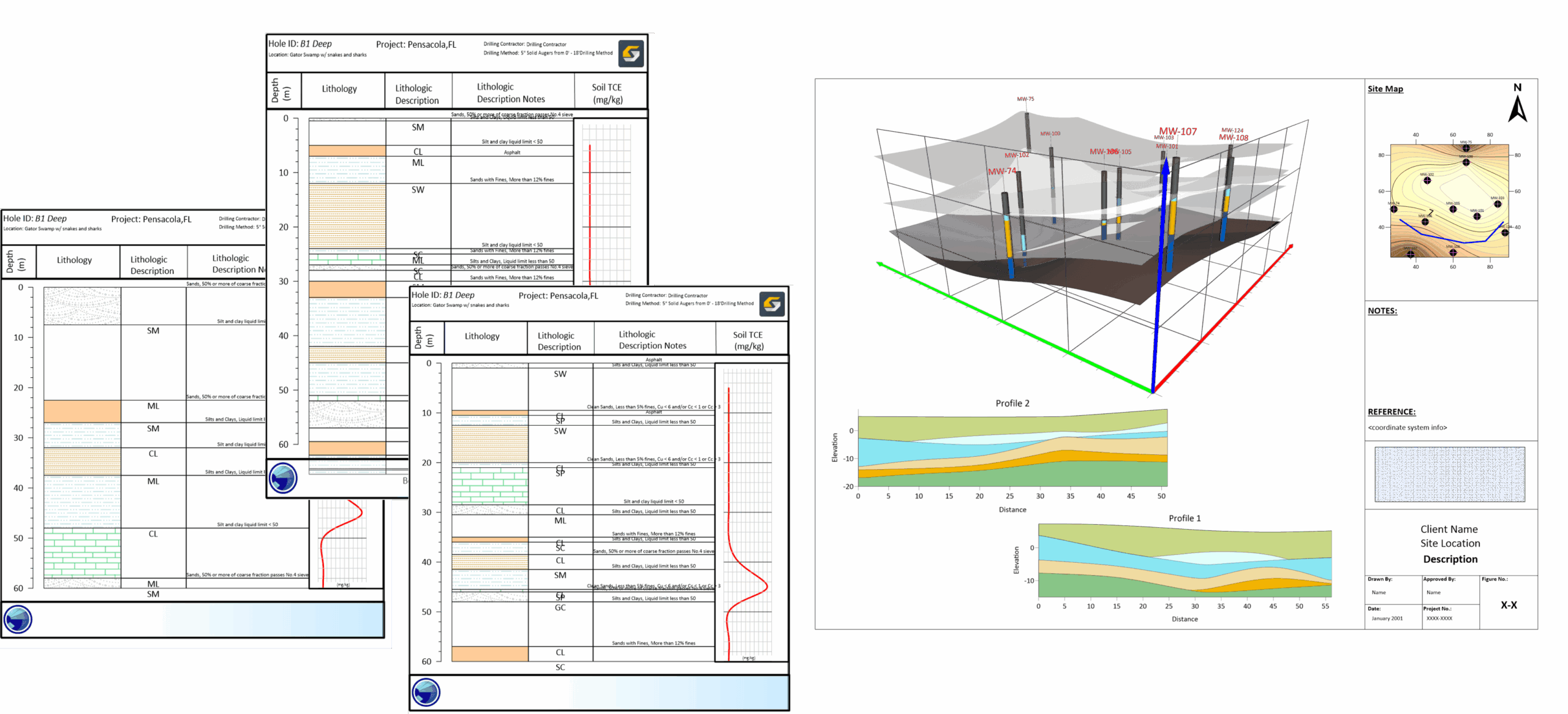
In a recent webinar, Drew Dudley showed how to transform raw borehole data into polished 2D borehole logs and 3D models.
- Feb 4, 2026|Gabbie Rhodes|7 min
When you're looking for different software, how do you determine which tool to choose? The right-fit approach is a great way to find the perfect fit.
- Dec 23, 2025|Gabbie Rhodes|5 min
Want to create a visual that truly impresses stakeholders? The finishing touches matter. Learn how to wow stakeholders with quality maps & models.
- Nov 26, 2025|Gabbie Rhodes|4 min
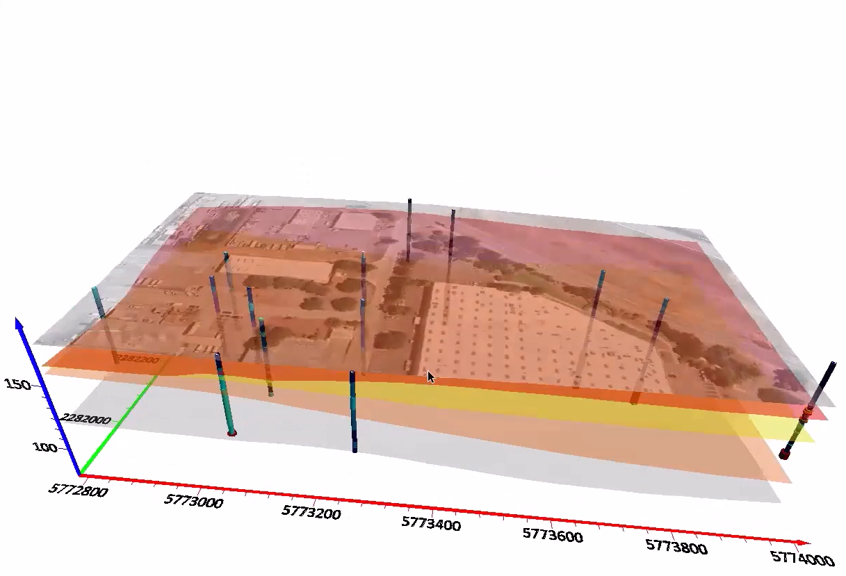
Want to easily create 3D contact picks and surfaces from your drillhole data? Surfer now equips you to do that very thing. Learn more.
- May 29, 2025|Gabbie Rhodes|4 min
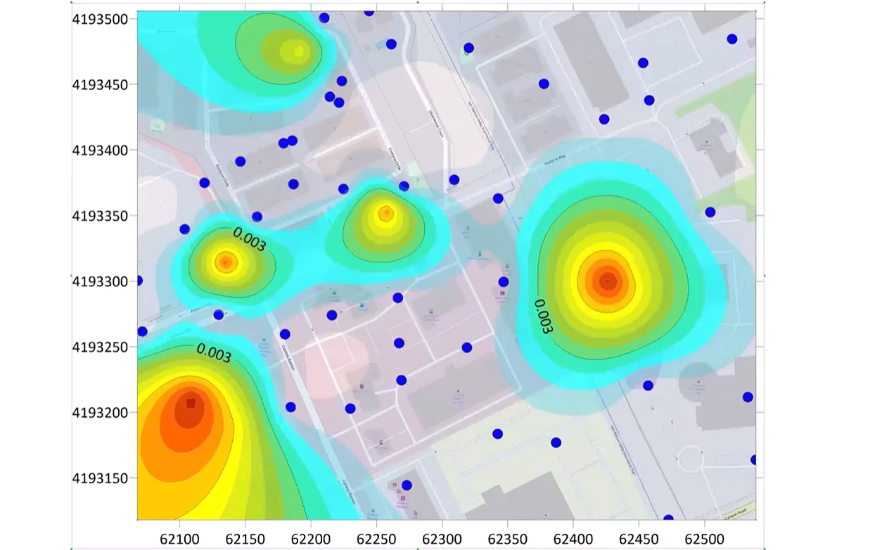
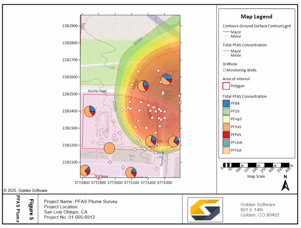
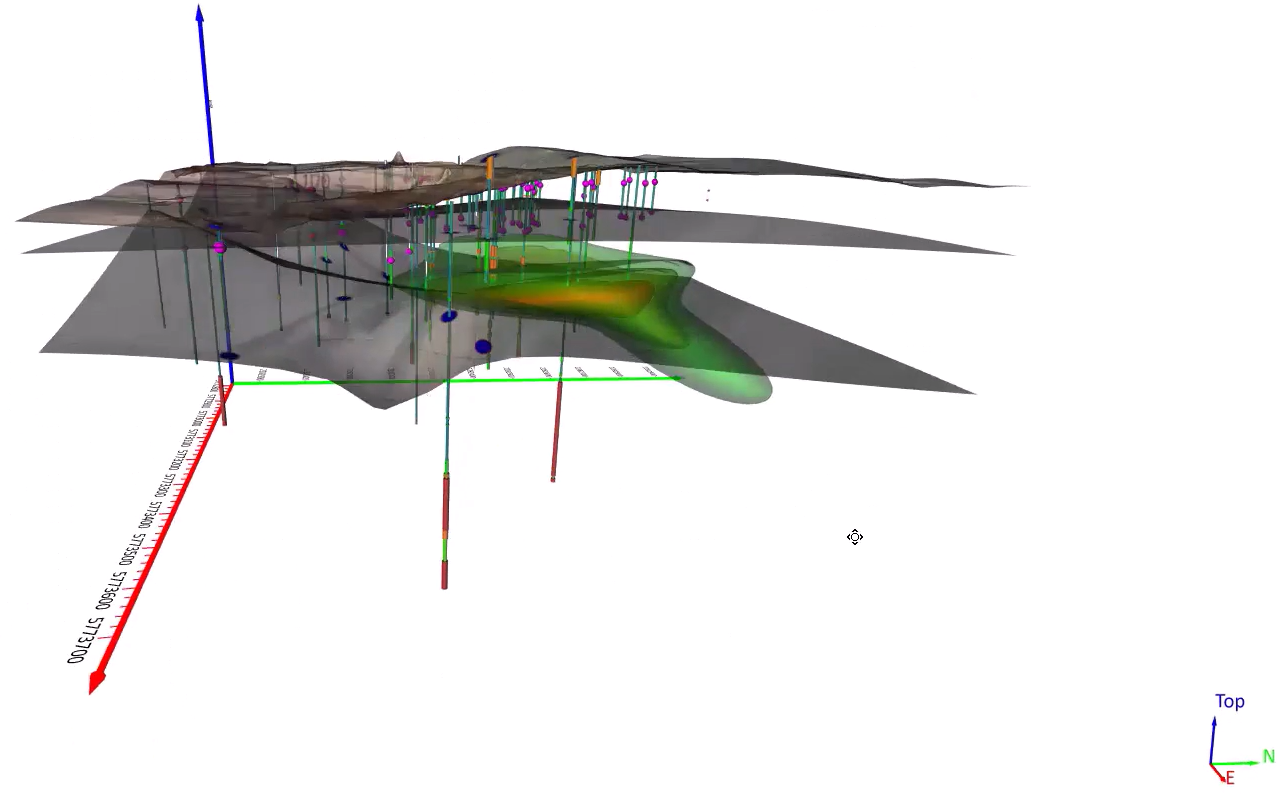
Senior Business Development Manager Drew Dudley showed how Surfer empowers users to create great PFAS contamination models. Learn more.
- Feb 19, 2025|Gabbie Rhodes|3 min
Want to enhance your maps to wow stakeholders? Focus on this: utilizing map elements. Discover takeaways from our webinar.