- Apr 23, 2025|Gabbie Rhodes|7 min read
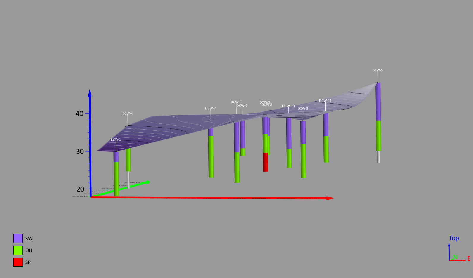
Do you want give stakeholders more insight into the subsurface? There's a specialized map type you should consider using: drillhole maps!
About Golden Software
Since 1983, Golden Software has been at the forefront of scientific data visualization.
Today, we empower professionals to solve real-world problems by transforming complex data into clear, impactful visual stories through our industry-leading software and legendary customer support.

Surfer – Create an Immersive 2D/3D Model in Under 2 Minutes!

Grapher – If You Can Imagine It, You Can Graph It!
- Apr 9, 2025|Gabbie Rhodes|7 min
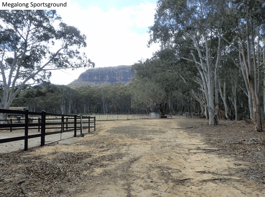
Understanding the view in the Megalong Valley was a goal Peter Hatherly helped people achieve at the Lyrebird Festival. How? Learn more.
- Mar 19, 2025|Gabbie Rhodes|4 min
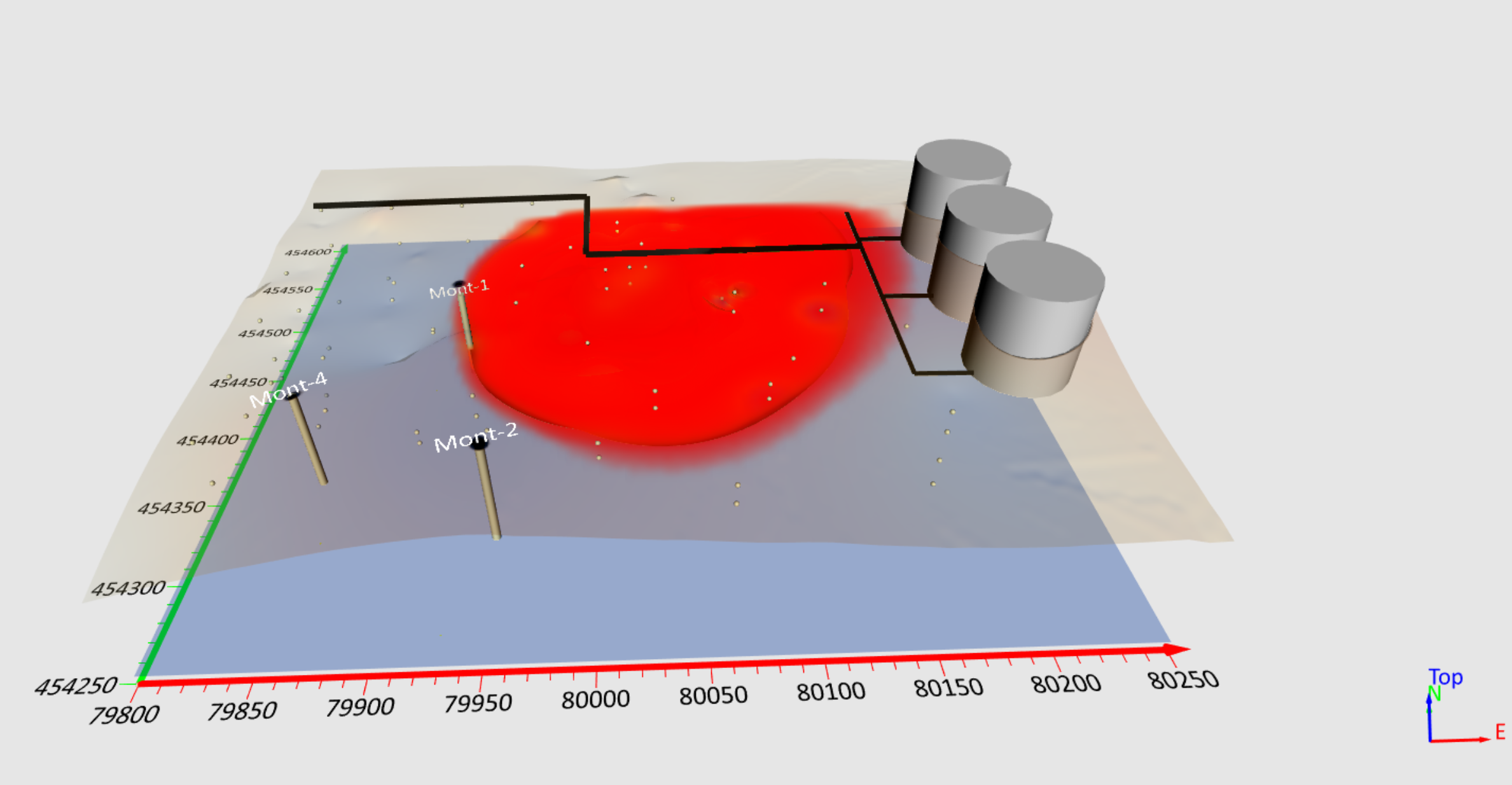
Want to show a more complete picture of concentrations and contaminants in your 3D models? There's a way to do it in Surfer. Learn more!
- Mar 13, 2025|Gabbie Rhodes|4 min
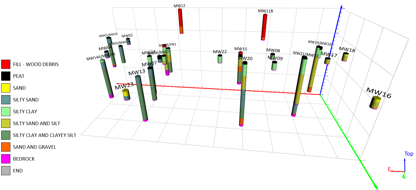
It's critical to clearly label and highlight the geology in your 3D drillholes when your work involves the subsurface. Luckily, Surfer makes it easy.
- Jan 22, 2025|Gabbie Rhodes|6 min
There are many benefits and real-world applications of 3D mapping in geoscience. Curious to know them? Read our latest blog.
- Aug 14, 2024|Golden Software|5 min
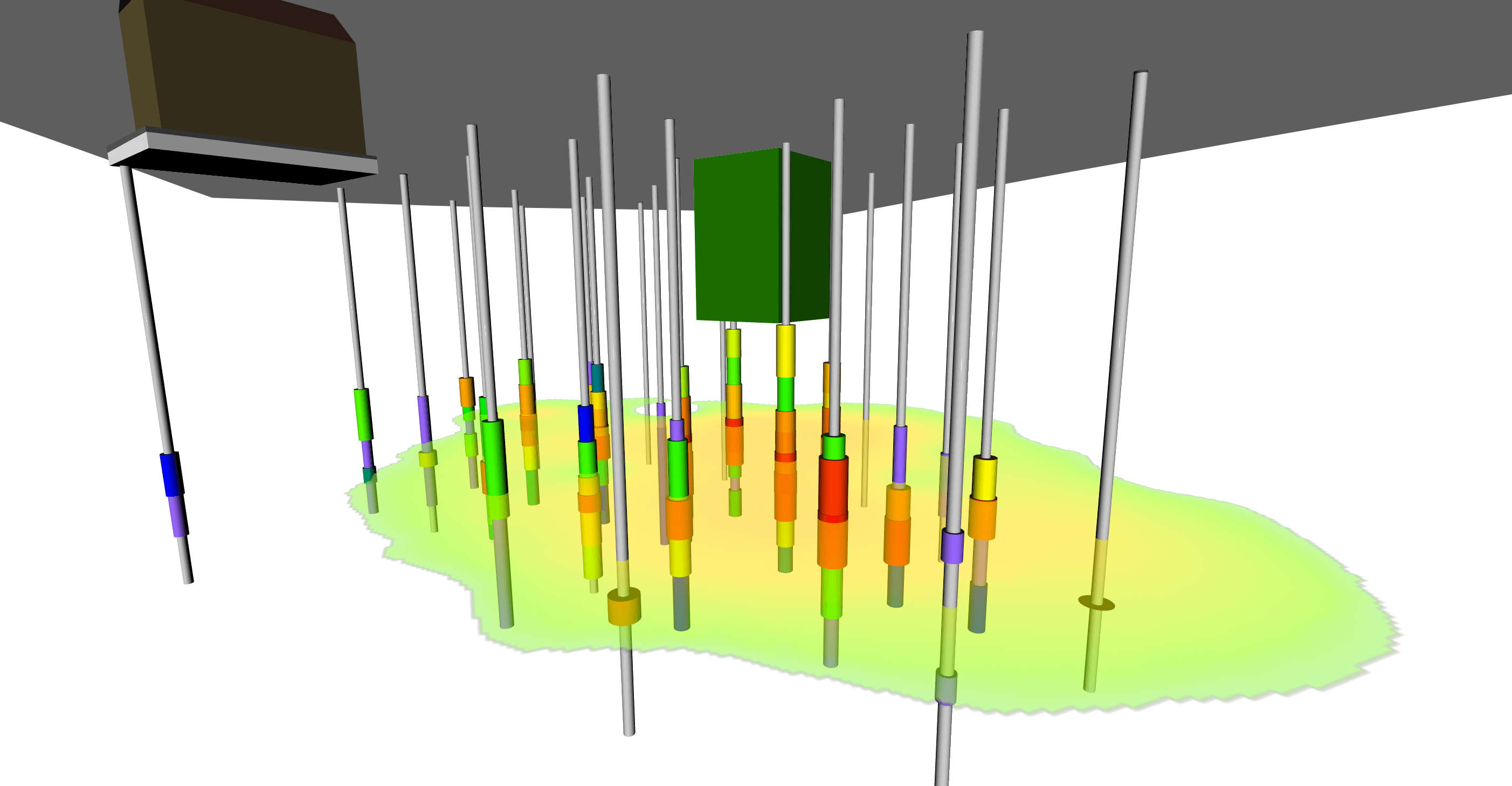
Gridding 3D drillhole data comes with some unique challenges that can be overcome by using these four best practices!
- Jul 25, 2024|Katie Yoder|7 min
Gridding concentration data comes with some unique challenges that can be overcome by using these five best practices!
- May 23, 2024|Katie Yoder|2 min
The Ricker Method for plume stability analysis helps engineers communicate meaningful patterns in environmental data
- Feb 9, 2024|Katie Yoder|3 min
Zach Dickson, principal hydrogeologist, recently shared how he uses Surfer to model his site characterization and forensic analysis data.
- Apr 12, 2023|Golden Software|4 min
Discover the top features scientists and engineers in the environmental industry should consider when choosing mapping software.